|
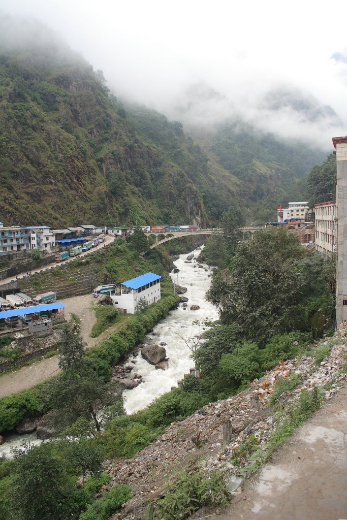 |
| Bridge as borderpost between China and Nepal | |
| Latitude: N 27°58'17,77" | Longitude: E 85°57'49,53" | Altitude: 1741 metres | Location: Liping | Country: Nepal | Copyright: Ron Harkink | See map | |
| Total images: 15 | Help | |
|
|
|
| Bridge as borderpost between China and Nepal | |
| Latitude: N 27°58'17,77" | Longitude: E 85°57'49,53" | Altitude: 1741 metres | Location: Liping | Country: Nepal | Copyright: Ron Harkink | See map | |
| Total images: 15 | Help | |